Tomaszów Mazowiecki
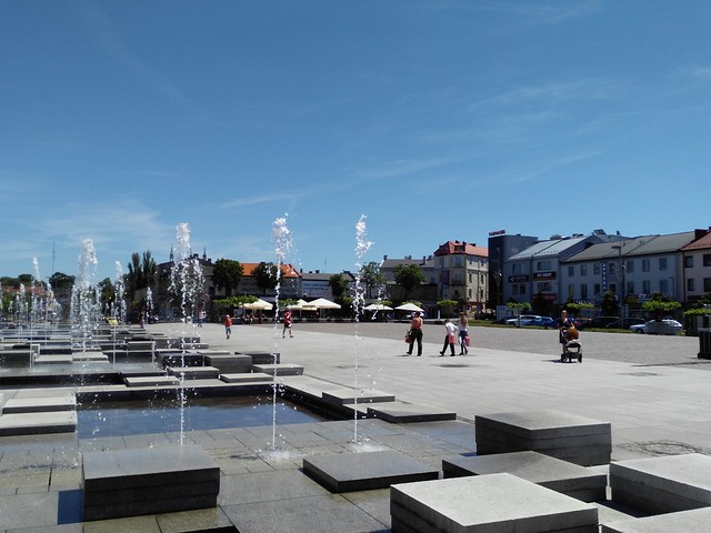
The square in Tomaszów Mazowiecki. – Photo by: WrS.tm.pl on Flickr
Distance
Population
65.818 (2010)
Location and history
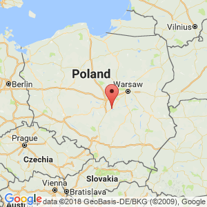
Tomaszów Mazowiecki is located in central Poland, southeast of the Łódź metropolis, on the Pilica River.
The city lies on the border between two historical regions, the land on the left of Pilica historically being Mazowsze (of which the city's nickname), while the land on the right of the river is historically Małopolska.
The city emerged at the end of the 18th century. and the beginning of the 19th century. in connection with the industrial revolution and the construction of ironworks as well as the development of the textile industry in the area. Commercial rights gained the town in 1830.
Tourist attractions
The Evangelical Trinity Church (1823-29)
Ostrowski Mansion (1812)
City Hall (1927)
Knothe Mansion (1820s / 1896)
Surrounding Area
Sulejów Lake
To the south there are only approx. 4 km to the north bank of the large Sulejów lake. The lake is an artificial water reservoir, built in 1969-1974 on the river Pilica, which runs through the lake from south to north. Pilica is the longest left tributary to Wisła.
Accommodation
Booking.com
Tomaszów Mazowiecki – with practical information for tourists
Eating Out:
Tomaszów Mazowiecki – with practical information for tourists
Other Internet sites and sources
Translated into English by Google Translate. Spangshus.dk accept no liability for any errors or omissions in translation.
Map
Rating
Search
Most used tags
churches (205) Castles (86) Monasteries (79) Town walls (74) Lakes (71) Town halls (67) Rivers (65) Castles1 (62) Mansions (55) Museums (51) Regional museums (38) Town gates (36) Abbey churches (35) Castle ruins (30) Cathedrals (26) Forests (25) Health resorts (24) Mounds (23) Water sports (23) National parks (22)Click for all tags
Denne side er også tilgængelig på dansk. This page and contents is (c) Copyright 2018- www.spangshus.dk. Based on Inviator software by ISCA Software