Częstochowa
(Short edition)
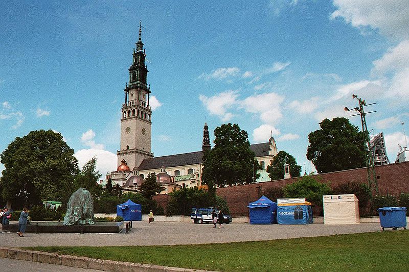
The monastery of Jasna Góra in Częstochowa
Distance
Population
248.000 (2004)
Location and history
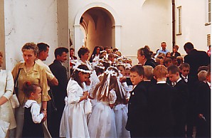
Częstochowa is a large industrial city – but especially known as a religious center and pilgrimage site – on the river Warta in the northern part of Silesia. The city is located in the Kraków-Częstochowa Highlands at an average height of approx. 260 m. The highest points are Góra Ossona (305 m) and Jasna Góra (where the city's famous monastery is located) at 286 m.
Tourist attractions
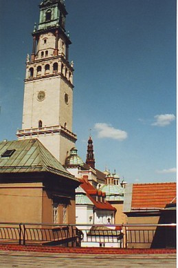
The Abbey and Church of Jasna Góra
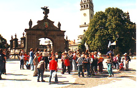
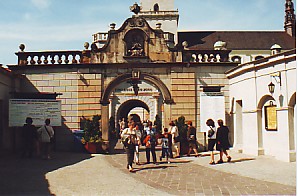
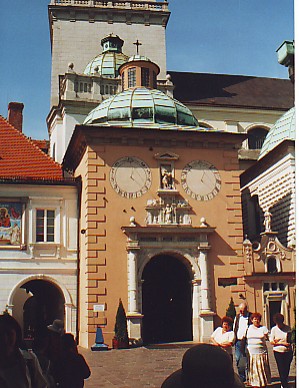
The square in front of the monastery with the gate that forms the main entrance: Brama Lubomirskich
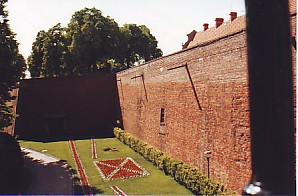
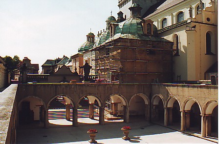
Part of the fortress wall around the monastery
Accommodation
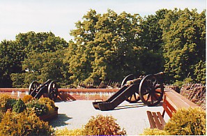
Cannon position on one of the bastions of the monastery
Other Internet sites and sources
Częstochowa (The official site of the city – in Polish and English)
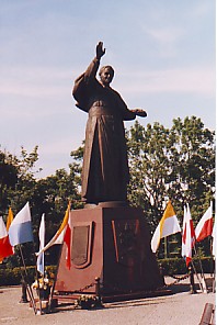
The statue of Pope John Paul II at one of the bastions of the monastery: Bastion Szaniawskich
Translated into English by Google Translate. Spangshus.dk accept no liability for any errors or omissions in translation.
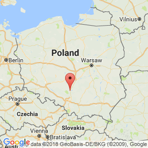
Map
Rating
Search
Most used tags
churches (205) Castles (86) Monasteries (79) Town walls (74) Lakes (71) Town halls (67) Rivers (65) Castles1 (62) Mansions (55) Museums (51) Regional museums (38) Town gates (36) Abbey churches (35) Castle ruins (30) Cathedrals (26) Forests (25) Health resorts (24) Mounds (23) Water sports (23) National parks (22)Click for all tags
Denne side er også tilgængelig på dansk. This page and contents is (c) Copyright 2018- www.spangshus.dk. Based on Inviator software by ISCA Software