Reda
Distance
Population
22.778 (2013)
Location and history
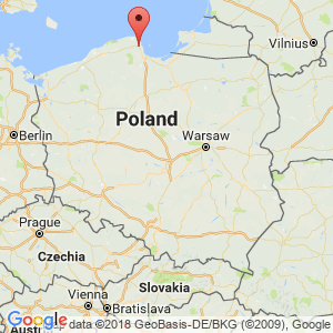
Reda is located in northern Poland, in Wejherowo district. Today, the city – like neighboring Rumia – is in fact a suburb of Gdynia and thus part of the large built-up urban area of Gdańsk.
The city has had several names over time. In 1400 the settlement was given the name Redau, which in 1433 was changed to Reda. In 1772 at the first division of Poland, the city came under Prussia. In 1920, after the end of the First World War, the Polish authorities took over the government in the city. 1939-1945 the city was occupied by the Germans. On January 1, 1967, Reda was granted commercial property rights. In 1990, the first free municipal elections were made after the war.
Tourist attractions
Selected attractions:
Reda is a new city and older building monuments hardly exist.
Aqua Park
For tourists, it is worth noting that there is an Aquapark in Reda since July 2016. It is a large complex where there are both swimming pools and similar facilities, oceanarium with fish, including sharks, and hotel department.
Surrounding Area
To the east, Puck Bay (Baltic Sea) is approximately 10 km away.
Immediately northwest and southwest of the city are large forest areas.
Through the city, highway # 6 (E28) runs from Gdańsk to Szczecin.
Accommodation
Booking.com
h4. Other Internet sites and sources
Translated into English by Google Translate. Spangshus.dk accept no liability for any errors or omissions in translation.
Map
Rating
Search
Most used tags
churches (205) Castles (86) Monasteries (79) Town walls (74) Lakes (71) Town halls (67) Rivers (65) Castles1 (62) Mansions (55) Museums (51) Regional museums (38) Town gates (36) Abbey churches (35) Castle ruins (30) Cathedrals (26) Forests (25) Health resorts (24) Mounds (23) Water sports (23) National parks (22)Click for all tags
Denne side er også tilgængelig på dansk. This page and contents is (c) Copyright 2018- www.spangshus.dk. Based on Inviator software by ISCA Software