Ostrow Wielkopolski
(Short edition)
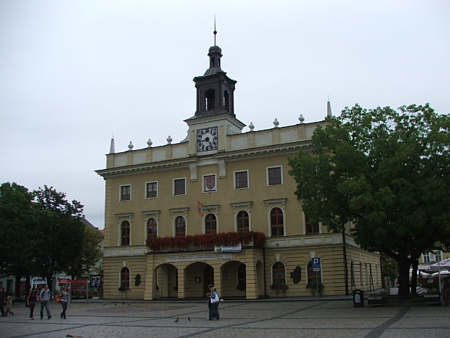
City Hall (with the Regional Museum) in Ostrów Wielkopolski
Distance
Population
72.907 (2011)
Location and history
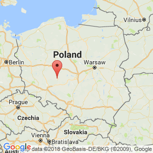
Ostrów Wielkopolski is located in the western part of central Poland, southeast of Poznań and northeast of Wrocław.
The city gained market rights before 1404. During Poland's partition and during the two world wars, there was a very active, popular resistance movement. In 1918, power in the city was taken over by Polish authorities. In the interwar period, the population grew to double, and new businesses emerged; thus of great importance was the production of railway wagons. Today, the city's businesses manufacture machinery, food and building materials in particular. Substantial quantities of natural gas are extracted in the area.
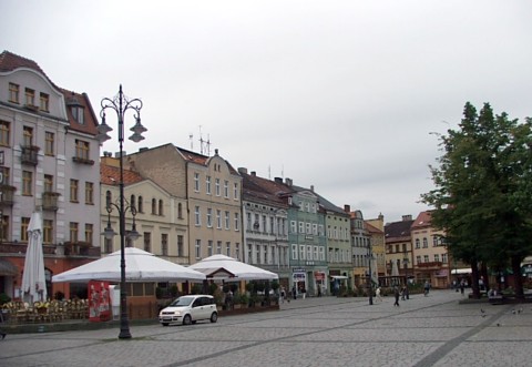
Lot from the square in Ostrów Wielkopolski
Tourist attractions
Selected attractions:
Church of the Virgin Mary (18.arh.)
Church of the Virgin Mary
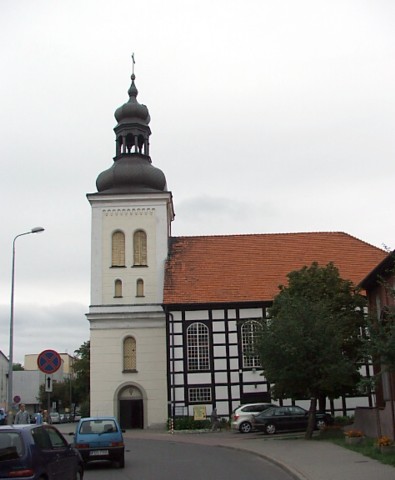
Saint Antony of Padua Church
in a modernist style.
St. Stanisław’s Cathedral Church
The first church building dates from the 15th century, the third (current) from 1906 in the Neo-Romanesque style.
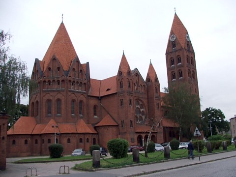
St. Stanisław’s Cathedral Church
The “new” Synagogue
The Old Cemetery
which is one of the oldest cemeteries in Poland still in use (older than, for example, the Powązkowski cemetery in Warsaw).
Surrounding Area
Accommodation
Other Internet sites and sources
Ostrow Wielkopolski – in Polish, English, German. French, Russian and Spanish
Translated into English by Google Translate. Spangshus.dk accept no liability for any errors or omissions in translation.
Map
Rating
Search
Most used tags
churches (205) Castles (86) Monasteries (79) Town walls (74) Lakes (71) Town halls (67) Rivers (65) Castles1 (62) Mansions (55) Museums (51) Regional museums (38) Town gates (36) Abbey churches (35) Castle ruins (30) Cathedrals (26) Forests (25) Health resorts (24) Water sports (23) Mounds (23) National parks (22)Click for all tags
Denne side er også tilgængelig på dansk. This page and contents is (c) Copyright 2018- www.spangshus.dk. Based on Inviator software by ISCA Software