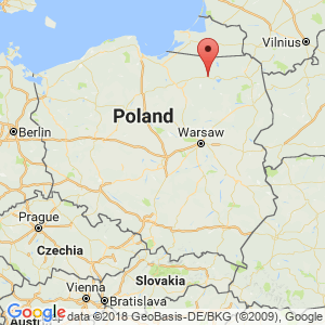
Mrągowo
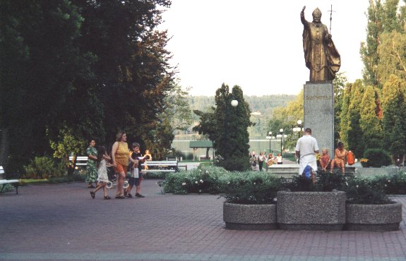
Promenade at Lake Czos in Mrągowo
Distance
Population
23.000 (2003)
Location and history
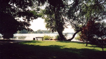
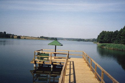
Mrągowo is the capital of the Mrągowo Lake landscape. The city lies between – and on the banks of – the lakes of Czos and Juno.
The settlement Mrągowo came into being in connection with a wooden fortress erected by the Crusaders in the middle of the 14th century. Between 1404 and 1407, the city was granted the first market town rights, confirmed in 1444 by the then Grand Master of the Crusader Order, Konrad von Jungingen. In the Middle Ages two city names were used: the German: Sensburg and the Polish: Ządźbork. Its present name bears Mrągowo since 1947 in memory of Krzysztof Celestyn Mrongowiusz (1764-1855), who was an evangelical priest, religious writer and linguist; he was the first to research the Kazakh language and the dialects of Warmien and Masuria. Later, the city remained within Prussian borders. The city's original development plan has been largely preserved to this day. In 1945, approx. 20% of Mrągowo destroyed in connection with the occupation of the city by Soviet forces.
Tourist attractions
Worth a visit include:
The Holy Wojciech’s Church Complex from the 19th century. (ul. Królewiecka),
The Evangelical-Augsburg Church from the 18th century. (ul. Kościelna),
The Russian Orthodox Church (ul. Roosevelta),
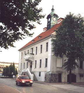
City Hall building from 1825
The former guard building (pl. Kajki),
grain magazine (ul. Roosevelta),
The Roman Catholic and Evangelical cemeteries
City Park from 1905
Well kept and protected houses at the streets of Królewiecka, Warsaw and Roosevelta.
Surrounding Area
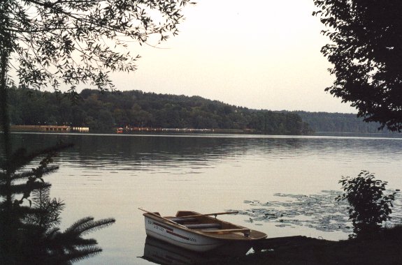
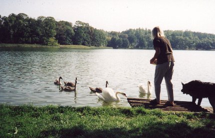
The lake landscape around Mrągowo is shaped during the last ice age and is characterized by lakes and moraine slopes, the highest of which exceeds 200 meters. The largest lakes are: Czos, Juno, Juksty, Salęt and Wągiel. .
The southeastern part of Mrągowo municipality is part of the Masurian Landscape Park. The park includes some of the most naturally valuable areas of the Great Masurian Lakes, including several forest, plant and moss reserves, thus a reserve of over 140-year-old beech trees.
Sorkwity (12 km to the west) -A beautiful English-Gothic palace.
Święta Lipka (26 km to the north) – holds a sanctuary under the Jesuit order with church and monastery in Baroque style.
Reszel (30 km to the northwest) – with the Warmian diocese and a nunnery (Katrina Sisters Monastery).
(Also see: Crusader castles and bishopric castles in northern Poland )
Gierłoż (39 km to the northeast) – with Hitler's headquarters during World War II.
Accommodation
Booking.com
Mrągowo – in Polish, German, English, French and Russian
Eating Out:
Mrągowo – in Polish, German, English, French and Russian
Other Internet sites and sources
Mrągowo – in Polish, German, English, French and Russian
Translated into English by Google Translate. Spangshus.dk accept no liability for any errors or omissions in translation.
Map
Rating
Search
Most used tags
churches (205) Castles (86) Monasteries (79) Town walls (74) Lakes (71) Town halls (67) Rivers (65) Castles1 (62) Mansions (55) Museums (51) Regional museums (38) Town gates (36) Abbey churches (35) Castle ruins (30) Cathedrals (26) Forests (25) Health resorts (24) Mounds (23) Water sports (23) National parks (22)Click for all tags
Denne side er også tilgængelig på dansk. This page and contents is (c) Copyright 2018- www.spangshus.dk. Based on Inviator software by ISCA Software