Żory
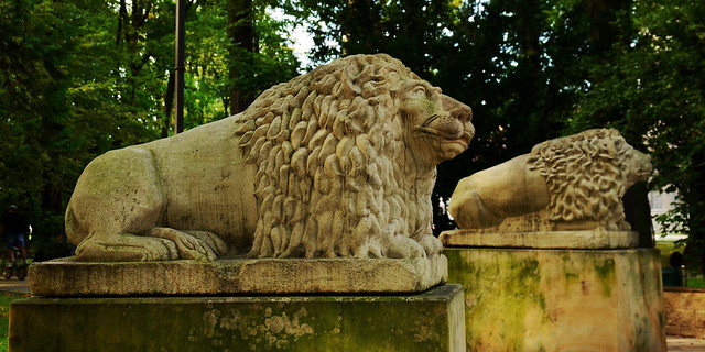
The stone lions at the entrance to the town park in Żory. – Photo by: Artur Strzelczyk on Flickr
(Short edition)
Distance
43 km SE, 38 km S, 35 km N, 15 km SV, 37 km NE, 59 km NV, 26 km N, 24 km NE, 53 km E, 20 km SE, 40 km NE, 14 km NV, 27 km V, 32 km NE, 24 km SVPopulation
62.110 (2011)
Location and history
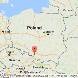
The town of Żory is located in southern Poland, just south of the major industrial and urban area, called the Katowice area.
A document from 1272 testifies to the founding of an actual, fortified city. The building of a city wall and other fortifications began in the late 13th century. In 1291, the city became attached to the Czech Republic. In 1526 the area came under the Habsburg monarchy. In 1742, the city became part of Prussia. In 1922, Żory returned to Poland.
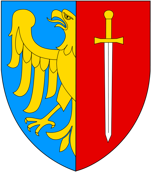
Żory’s city arms
Tourist attractions
Selected attractions:
St. Philip and St. James's Church
Gothic parish church from the 15th century.
Bymuren
Remains of the city wall from the 14th century.
Surrounding Area
Accommodation
Other Internet sites and sources
Translated into English by Google Translate. Spangshus.dk accept no liability for any errors or omissions in translation.
Map
Rating
Search
Most used tags
churches (205) Castles (86) Monasteries (79) Town walls (74) Lakes (71) Town halls (67) Rivers (65) Castles1 (62) Mansions (55) Museums (51) Regional museums (38) Town gates (36) Abbey churches (35) Castle ruins (30) Cathedrals (26) Forests (25) Health resorts (24) Mounds (23) Water sports (23) National parks (22)Click for all tags
Denne side er også tilgængelig på dansk. This page and contents is (c) Copyright 2018- www.spangshus.dk. Based on Inviator software by ISCA Software