Zielona Góra
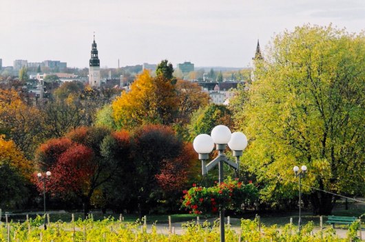
View of Zielona Góra from Wzgórze Winne (Wine Hill) in autumn. – Photo: Jarosław Wnorowski
Distance
37 km NE, 99 km S, 42 km SE, 62 km SE, 110 km NV, 60 km V, 108 km NE, 121 km NV, 35 km NV, 62 km NV, 108 km SE, 87 km SE, 85 km SE, 47 km SV, 70 km N, 23 km SE, 141 km NE, 80 km N, 42 km E, 90 km NV, 23 km NE, 53 km N, 54 km S, 82 km NV, 157 km SE, 80 km SE, 15 km E, 47 km SV, 47 km SV, 49 km NEPopulation
118.221 (2005)
Location and history
Zielona Góra is located in western Poland, on a wooded ridge between the rivers Odra and Bóbr. The place name Zielona Góra corresponds to the Danish place name Grønbjerg. The town was formerly the main town in the county of the same name; from 1999 – with the establishment of 16 major counties – Zielona Góra holds part of the county functions of the new Lubusz County (Województwo Lubuskie), with the locally elected county council having its seat here, while the state office has its address in Gorzów Wielkopolski.
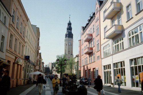
Street in the center; in the background the town hall tower
Zielona Góra is first mentioned in the documents in 1222, and from 1312 it is referred to as a city. Commercial rights gained the city in 1323. The city has alternately been under Polish, Czech, German (1742-1945) and again Polish (1945-) rule.
Tourist attractions
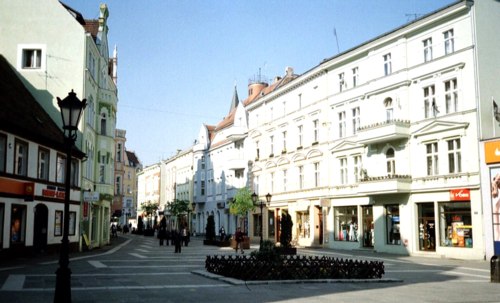
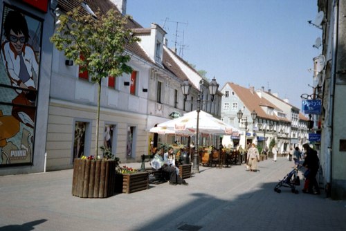
The old Town and the square (Stary Rynek) with listed residential buildings from the 18th and 19th centuries. and the City Hall. The street course is preserved almost as in the Middle Ages.
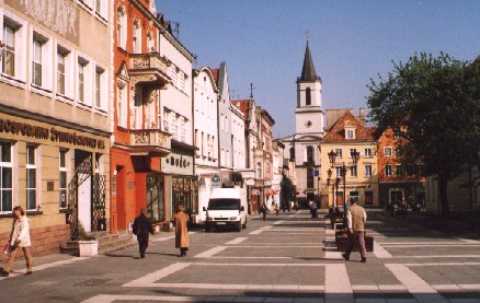
The center of the old town of Zielona Góra. In the background, the Church consecrated to the Mother of God by Częstochowa.
City Hall was originally built in the 15th century. The building was damaged by several fires in the 16th and 17th centuries, but subsequently rebuilt and rebuilt, most recently in 1919. The tower is 54 m high.
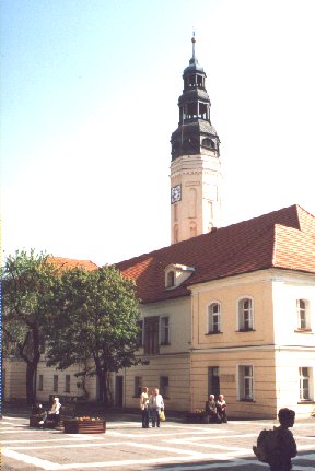
Zielona Góra City Hall
The Church consecrated to the Mother of God by Częstochowa was originally an evangelical church, built as a half-timbered structure in 1746-48. The tower was added in 1828.

Mother of God of Częstochowa’s Church. – Photo: Jarosław Wnorowski
Zielona Góra Philharmonic Orchestra organizes international musical gatherings under the name “East West” as well as a festival of violin music.
St. Jadwiga Cathedral is listed 1272-74. The cathedral was ravaged by fires in 1410, 1582, 1627 and 1651. The present form of the tower dates from 1832.
Lubusz Area Museum – “Muzeum Ziemi Lubuskiej”. The building, which dates from 1890, has numerous historical effects as well as collections of older and modern art from this area.
the tower “Wieża Łazienna” , also called Wieża Głodowa (The Hunger Tower) dates from 1487, but has been rebuilt several times. The tower is in 3 floors with numerous sliding doors. The tower had defense purposes and also served as the city jail.
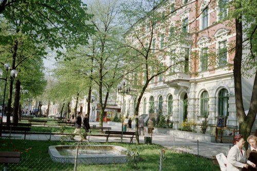
Lot from the wide pedestrian street (Aleje Niepodległości) with a green area in the middle of the street.
Surrounding Area
Ochla , 8 km south of Zielona Gora; found here Zielona Góra Ethnographic Park , an open-air museum, where old Polish craftsmanship is demonstrated.
Zabór , 15 km to the east. Here is a former princely castle.
Accommodation
Booking.com
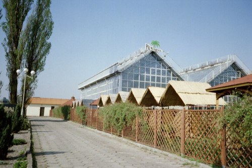
Palm House (Palmiarnia)
Other Internet sites and sources
Zielona Góra (The official site of the city in Polish, English and German)
Translated into English by Google Translate. Spangshus.dk accept no liability for any errors or omissions in translation.
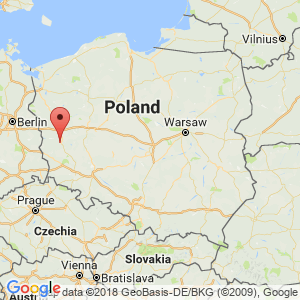
Map
Rating
Search
Most used tags
churches (205) Castles (86) Monasteries (79) Town walls (74) Lakes (71) Town halls (67) Rivers (65) Castles1 (62) Mansions (55) Museums (51) Regional museums (38) Town gates (36) Abbey churches (35) Castle ruins (30) Cathedrals (26) Forests (25) Health resorts (24) Mounds (23) Water sports (23) National parks (22)Click for all tags
Denne side er også tilgængelig på dansk. This page and contents is (c) Copyright 2018- www.spangshus.dk. Based on Inviator software by ISCA Software